
")

Hiking holidays & nature experience South Carinthia
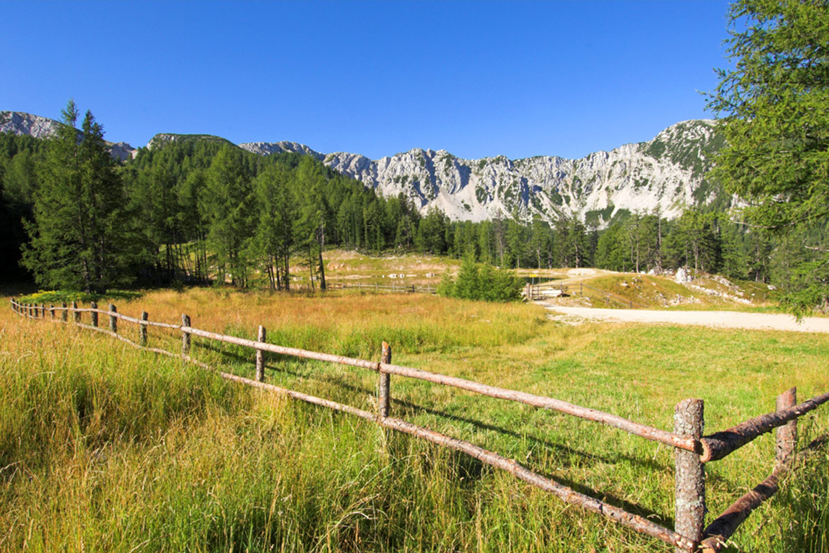
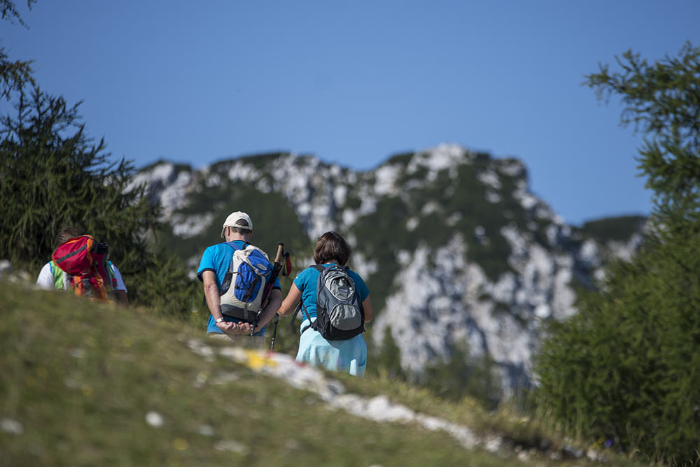
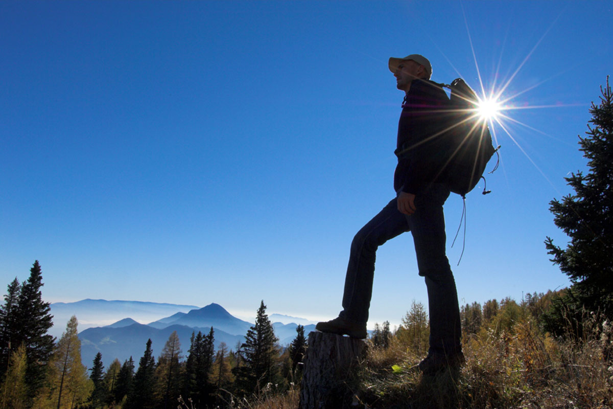
More than 800 km of hiking trails open up a unique landscape between the Saualpe in the north and the caravans in the south. Summit toppers tackle the two-thousand-thousand high obir, the peaks of the Petzenmassif or the peaks of the Steiner Alps on the Slovenian border alone or accompanied by certified mountain guides. The ideal guide in the caravans is the hiking centre of excellence Bad Eisenkappel in the Vellachtal natural area.
Hiking on the Petzen
The Petzen offers hiking tours for the whole family – there are short pleasure hiking trails for large and small explorers, but also challenging mountaineering routes. The following tour descriptions will guide you for an adventurous and unforgettable hike. For your safety, we recommend that you only move on the marked paths. So that we can continue to admire and enjoy our natural resources in the future, we ask you to spare the alpine flora, to treat nature with respect and not to throw away waste. Whether hiking in summer or skiing in winter - you can find out more on www.petzen.net.
The most beautiful hiking trails
The times apply to average good hikers. The breaks are not included.
Siebenhütten - Unterort Base station
Duration: about 3-4 hours
The approximately 12 km long Petzenstraße leads with only a slight gradient through beautiful and idyllic mixed and deciduous forests downhill. The trail is easy and at the same time an excellent mountain bike trail.
Siebenhütten - Base station / Feistritz
Trail: 603, P7, P3
Duration: about 3 hours
From the cable car mountain station to the west, the descent takes place past the Speichersee to the hunting lodge in Krischa-Kar. We continue along the red-white-red marked path 603 through mixed and deciduous forests towards the valley station-cabin railway.
Oberer Petzen-Rundmarsch
Trail: 603, P3, P4
Duration: about 4 hours
From seven huts through the light larch forest past the St. Anna Chapel uphill to the tree line. Climb to the Knieps saddle. Afterwards we first go to the summit cross of the Hochpetzen and continue over the Neubersch-Steig (P4) into the Krischa-Kar, which next meets the hunting lodge on the path 603 coming from the valley. After a slight ascent of about 0.5 hours, you reach the cable car mountain station after the Speichersee.
Große Petzenrunde
Trail: 603, P3, P4, P7
Duration: approx. 7 hours, day tour
From seven huts through the light larch forest past the St. Anna Chapel uphill to the tree line. Climb to the Knieps saddle. Not far from the Hochpetzen, the path 603 (Karawanken hiking trail) branches off to the southwest to the Luscha saddle. Continue along the path 640 over the wide and juicy alpine pastures downhill to the Wackendorfer Alm, which is only managed on a case-by-case basis. Along the path 640, you leave this next one to a hunting lodge on the Dickenberg (1,167 m) and follow a narrow path no. 7, which leads to the east. At the exit of the Kolsche-Graben you will meet a freight road that leads in an easterly direction and ends at the valley station cable car.
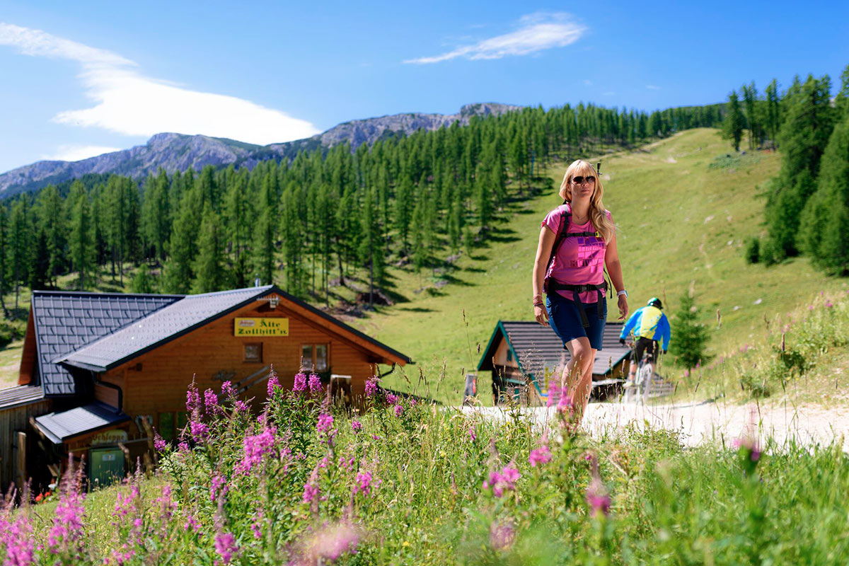
Wandervogel
Trail: P6
Duration: about 2-3 hours
From the mountain station to the east, past the Mountain Inn Siebenhütten and the Bergwacht, you go to the Zollhütte. Afterwards, the trail leads along the ski slope downhill (crossing of Petzenstraße 1) to the so-called Spitzkehre of the Petzenstraße. Immediately after the Spitzkehre, the descent of the migratory bird continues on the left. Once you have managed this relatively steep section, you cross the Petzenstraße again and continue downhill into the descent. At the entrance you keep to the east, hike through a mixed forest and after about 15 minutes you reach the family descent. Along this valley to the so-called 3-er boden (obviously at the newly built pump house). Once again you cross the ski slope and stop west towards the valley. After about 30 minutes you reach the managed Mosthütte. Continue along the ski slope to the valley station cabin lift.
Hiking map & tours
You will find them in the Download-area on petzen.net
Hiking tips for the alpine terrain
- Only fit in the mountains and not only "fit through the mountains"
- No mountain hike without careful tour planning
- For the planned tour the right equipment and nothing unnecessary with you.
- Suitable footwear is essential! Only with mountain boots into the terrain!
- Get information about the tour and the weather conditions.
- Take a ten-minute break every two hours.
- Drink and eat extensively during the tour.
- Never leave the marked path.
- In case of danger or worsening of the weather, cancel the tour in time.
- Emergency equipment (first aid box, mobile phone and flashlight) belongs in every backpack.
- In case of emergency, stay calm and communicate the mountain rescue. Alpine emergency signal, Euro emergency call: 112, mountain rescue: 140
Excursion tips...
Geopark Karawanken
Immerse yourself in the GeoPark adventure and experience earth's history live. Hikes, tours and museums offer unique things about the area of the Karawanken mountains. www.geopark-karawanken.at
Walderlebniswelt Klopeiner See
Fun for the whole family. Over 50 attractions: Tree canopy path, giant slides, animals, labyrinth, free children's playground, forest trail, giant hopping pillow... www.walderlebniswelt.at
Obir Tropfsteinhöhle
Fascinating underground world, carefully lit. During the tour, 9 stations with multimedia light, sound and video installations are passed. www.hoehlen.at
More informations
Tourismusregion Klopeiner See - Südkärnten
Schulstraße 10
Tel.: +43 (0) 4239 / 2222
www.klopeinersee.at